
there are two ways to visit:
BY-LAND
BY-SEA
Let´s explore now the BY-LAND option.

The adventure begins with a 100 minutes flight from GUAYAQUIL. ( all flights to the Galapagos depart from Guayaquil, yes there are many trips that begin in other cities but they fly to Guaayquil´s airport and onlyfrom Guayaquil you´ll have your DIRECT FLIGHT to the islands.
Guayauqil will also provide you with the best acclimation possible since this is coastal city and the weather is pretty much the same as that of the islands.
So, Am I saying that THE VERY BEST IDEA is to start the trip from Guayaquil?
Yes indeed. It is absolutely the absolutely best idea.
So, Back to our flight.
There are two islands with airports that recieve direct flights from Guayaquil: SAN CRISTOBAL & BALTRA.
We´ll talk about the flight from Guayaquil To BALTRA.
We´ll land in an island which is bare of life. It was an amrican base during World War II.
We´ll take a bus to the south side of the island.
then a ferry will get us across the channel that separates BALTRA FROM SANTA CRUZ.
then well board a bus that´ll take us across the islands again fro m the northern most side of the island to Puerto Ayora which is in the south side of this island.

Most of the visitors to the galapgos are simply taken from the northern side of the isdland to PUERTO AYORA in the south side of the island (leaving any adventures for days two and on) . Not us , we´ll take advantage of this trip that already goes through the island to visit two parts of the islands.
We´ll visit THE LAVA TUNNELS ( natural formations after several consecutive eruptions)
And also a " Tortoises farm" not really a tortoises farm as it sounds, it is really a farm located up there in the highlands where tortoises happen to wander around


When walking around, we learn about the different types of vegetation that exist in the island, and also how different it is from mainland.


After this excursion we continue to the coast and check -in on our hotel.
After a little refreshing we are ready to go out and walk by the "MALECON" maybe even watch the sunset and start looking for a fine place for dinner.


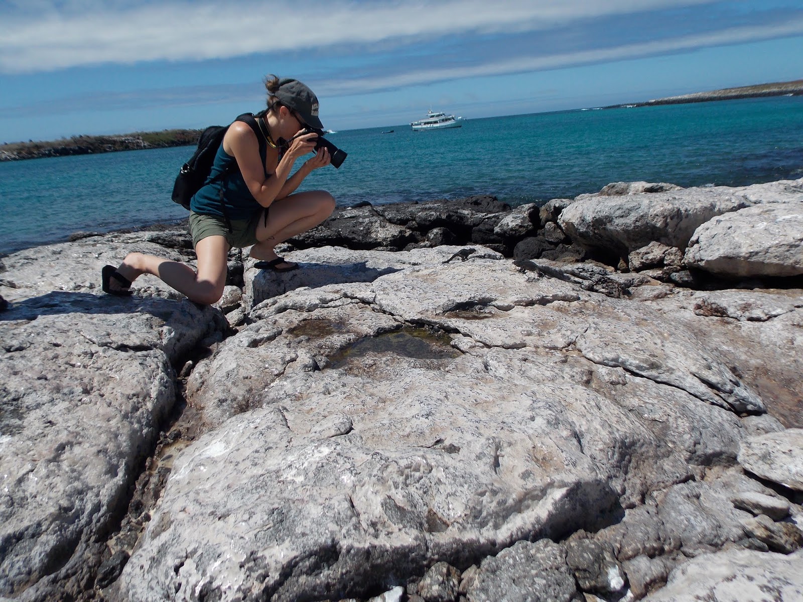
So, make sure that you´re always carrying your camera with enough batteries and memory.

There are many variations to a BY LAND trip to the Galapagos.
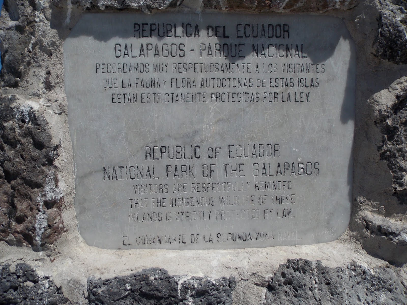
Going on a navigation the very next day, or going on a walking tour the first day. That really can be arranged with the group and also trying to addapt to the SET ITINERARIES that our vessels have. ( let´s remember that the Galapagos islands are a National Park and there are many regulations that we must adhere to, all of them aiming for the highest and more effective concersation of this paradise with a very delicate balance)
So, it´s not that we can go on a yacht everywhere and anywhere we want, we have to adapt to the regulations.
On this example of us we´re going on a daily cruise now... Let´s go to...
SOUTH PLAZA now.
South Plaza s a small island off the east coast of Santa Cruz It has an area of 0.13 km² and a maximum altitude of 23 meters.
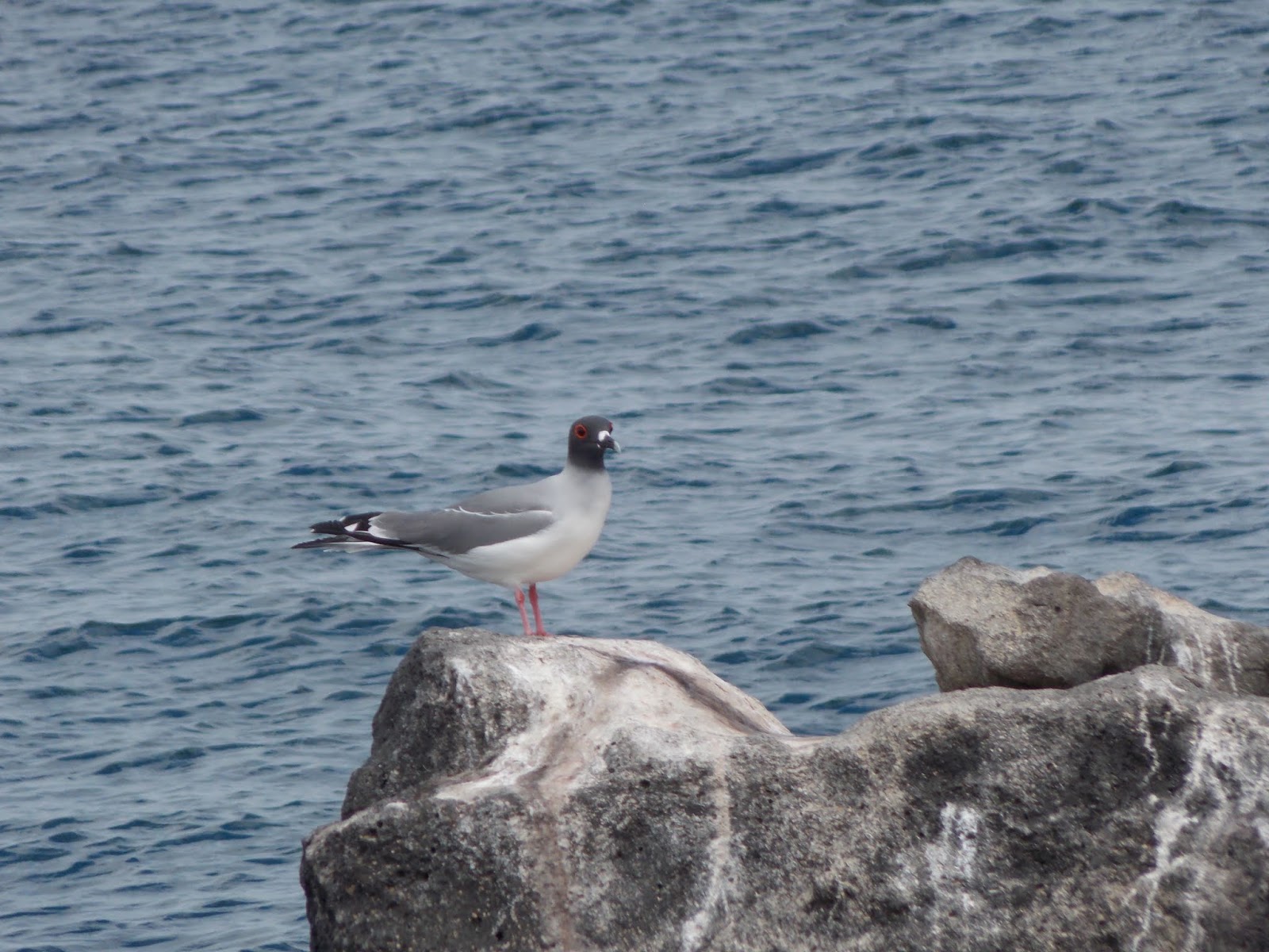
South Plaza was formed by lava up streaming from the bottom of the ocean. Despite its small size, it is home to a large number of species and known for its extraordinary flora. The sea bluffs hold large numbers of birds, such as nesting red billed tropicbirds & swallow tailed seagulls birds and offer wide vistas. The prickly pear cactus trees Opuntia echios are remarkable, there is also a large colony of Galapagos land iguanas .


Furthermore, the territory and breeding season of the Galapagos land iguana overlap only on South Plaza Island with those of the marine iguana giving rise to a unique population of hybrid iguanas ( Hybrid iguanas are dark with white speckles or bands of mottling near the head. By contrast, marine iguanas are solid black, while land iguanas are reddish-yellow; neither are banded.)

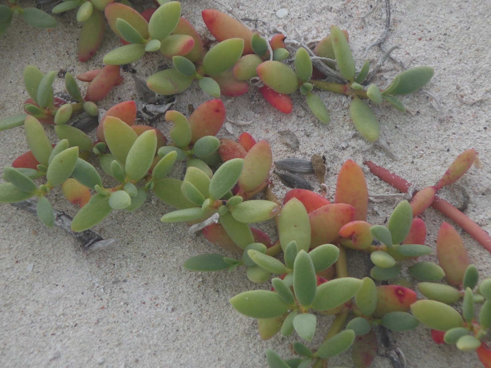
Depending on the season, the Sesuvium ground vegetation changes its colour from green in the rainy season to orange and purple in the dry season.


Walking by the high cliffs of South Paza is always a breathtaking experience


A great place for diving.

End fo the day we return to SANTA CRUZ
And we walk around town getting ready for dinner and also maybe visiting one of the bars and clubs in town.
*******************************
Let´s go now on a walking excursion to TORTUGA BAY
Tortuga Bay is located on
the Santa Cruz Island, a 1.5 mile walk from center of Puerto Ayora where you
can view Marine iguanas, birds, galapagos crabs and a natural
mangrove where you can spot white tip reef
sharks and
the gigantic galápagos tortoise. There is one point
where surfing can also be practiced.

This is the 2,5 kilometers trail to TORTUGA BAY.
On our way we will walk through a dry coastal forest, a forest of PALO SANTO and CACTI.
and a large ammount of Finches, Mocking birds and Lizzards will grant us great photo ops.


Upon arrival ,we will witness one of the most breathtaking landscapes ever:
A long WHITE sand beachthere is no exaggeration when we say WHITE sand beach it looks and feels more like powder then sand.


At the other side of the long walk throuh the whuite sand/ turquoisewaters beach, there a small cove will tranquil waters and a great snorkeling spot,.


After this day at the beach we return to PUERTO AYORA
Once back in town a visit to the CHARLES DARWIN RESEARCH STATION is very much advisable.


After sunset we´re ready for yet another night in town . Getting to now the locals and their traditions


Are we ready for another excursion?
INDEED WE ARE!!!
Let´s boogie then!
BARTHOLOMEW
Is a gorgeous an
enchanting volcanic islet in the Galápagos Islands.
It
is a volcanic islet just off the east coast of Santiago
Island.

This
island, and Sulivan Bay on Santiago island, are named after naturalist and
lifelong friend of Charles Darwin, Sir Bartholomew
James Sulivan,
who was a lieutenant aboard HMS Beagle.
With
a total land area of just 0.5 square miles, this island offers some of the most
beautiful landscapes in the archipelago.
 Bartolomé
is a volcanic cone that is easy to climb through a wooden trail of ramps and steps and provides arguably one of the greatest views of the archipelago.
Bartolomé
is a volcanic cone that is easy to climb through a wooden trail of ramps and steps and provides arguably one of the greatest views of the archipelago. 
Bartolomé
is famous also for the Pinnacle Rock,
which is the distinctive characteristic of this island photographed by absolutely
everybody who visits, and the most representative landmark
of the Galápagos.

There
are two visitor sites:
The
red sand beach: In which we swim and snorkel around Pinnacle Rock;
Highly
recommended to snorkle around Pinnacle rock where the underwater world is absolutely
impressive. Snorkelers share the water with the Galapagos penguins, green turtles, white-tipped reef
sharks, and tropical fish.
But we´ve gone way way way ahead of our day´s schedule.
This is a day that begins quite early ( we normally witness sunrise ) as we drive across Santa Cruz, to hop onboard at CANAL ITABACA


 It is to be expected that a hitch-hicker will be waiting for us at the yacht.The trip from SANTA CRUZ to BARTHOLOMEW take us sailing by DAPHNE MAJOR.

They
examined the behaviour and life cycles of finches, with the results strongly
supporting evolution Their efforts were
documented in the Pulitzer Prize–winning book The Beak of the Finch
Daphne
is home to a variety of other birds including Galapagos Martin, Blue footed boobies, Nazca Boobies, Short eared owls, Redbilled tropic brids, & Magnificent frigatebirds
Then we
continue our cruise towards Bartholomew.


We´ll reach the isalnd from its north-east side and the Pinnacle rock will unravel as we approach the island.
First visit is normally the climb uphill to witness the gorgeous view.
But
it is not only once we reach the top
when we´re rewarded, the climb
itself is a lesson in
geology since we´ll see all differnt
colors of lava formations, the
walk seems as if you´re walking
on a different planet. To me it
is as if we were walking on mars with its
red sands.


Once
at the top, visitors are
breathless not really because of
the climb (neraly 400 steps) but because of the beauty and view.


There
are insects, and scarce vegetation Chamaesyce spp, Tiquilia nesiotic and Tiquilia fusca, on the way up but on every corner the visitors are surprised by the beauty
of the place and the view which
is ever more impresive as we go
higher and higher.
With
a total land area of just 0.5 square miles, this island offers some of the most
beautiful landscapes in the archipelago.
The
island formed out of an extinct volcano
and a multicolored array of lava formations ranging from red, black, orange, green.
The
Galápagos lava cacti colonize the
new lava fields.
Bartolomé is a volcanic
cone that is easy to climb through a wooden
trail of ramps and steps and provides arguably one of the greatest views of the archipelago. 


But this is not the end of the day... Not by a long shot.


Where once again we´ll receive a class on geology.and how the islands were formed.
Ther is a short sailing by the golden bay of BARTHOLOMEW.


Depending
on the type of tour that
the visitors take, water activities (snorkeling and swimming) will be either
on the above mentioned beach or at: Sulivan Bay


SULIVAN BAY a White sand
beach located in the island
of SANTIAGO (James), Here penguins will
also be spotted and also a lava flow
wil be explored here we appreciate
the difference between the two types of
volcanic flows: AA and PAHOEHOE.
As a matter of fact the breath-taking view seem from the top of Bartholomew is actually SANTIAGO island .


Mafic lava
Mafic or basaltic lava lavas are typified by their high ferromagnesian content, and generally erupt at temperatures in excess of 950 °C (1,740 °F).
Basaltic magma is high in iron and magnesium, and has relatively lower aluminium and silica, which taken together reduces the degree of polymerization within the melt.
Owing to the higher temperatures, viscosities can be relatively low, although still thousands of times higher than water.
The low degree of polymerization and high temperature favors chemical diffusion, so it is common to see large, well-formed phenocrysts within mafic lavas. Basalt lavas tend to produce low-profile shield volcanoes because the fluidal lava flows for long distances from the vent.
The thickness of a basalt lava, particularly on a low slope, may be much greater than the thickness of the moving lava flow at any one time, because basalt lavas may "inflate" by supply of lava beneath a solidified crust.
Most basalt lavas are of A A or PAHOEHOE types, rather than block lavas. Underwater, they can form "PILLOW LAVAS" which are rather similar to entrail-type pahoehoe lavas on land.

A lava flow is a moving outpouring of lava
created during a non-explosive effusive eruption
When it has stopped
moving, lava solidifies to form igneous rock
Lava can be up to 100,000 times more viscous than
water, a lava flow will cover great distances before cooling and
solidifying because of its thixotopic properties.
PAHOEHOE


Pahoehoe flows are associated with low effusion rate eruptions and low volumetric flow rates 3-5 cubic meters per secong and slow front velocities 1-10 meters per hour. The low velocity of pahoehoe flows mean that the skin formed by air cooling is not disrupted during the flow and will maintin its smooth unbroken, well insulated surface.
The advancing front of a pahoehoe flow consists of many hundreds of “toes”. Each stopsafetr flowing for a few minutes and then becomes inflated with lava as the eruption continues. Eventually the now cooled surface will brake at the seam and a new “toe” is formed.

The
word originates from the Hawaiian language where it is
pronounced "AH-AH"meaning "stony rough lava", but also to
"burn" or "blaze".
Aʻā is one of three basic types of flow lava. ʻAʻā is basaltic lava
characterized by a rough or rubbly surface composed of broken lava blocks
called clinker. The Hawaiian word was introduced as a technical term in geology
The
loose, broken, and sharp, spiny surface of an ʻaʻā flow makes hiking difficult and
slow.
The clinkery surface actually covers a massive
dense core, which is the most active part of the flow. As pasty lava in the
core travels downslope, the clinkers are carried along at the surface. At the
leading edge of an ʻaʻā
flow, however, these cooled fragments tumble down the steep front and are
buried by the advancing flow. This produces a layer of lava fragments both at
the bottom and top of an ʻaʻā
flow.


After the climb and then the snorkeling with penguins and the lava flows..
Are we ready for lunch?

Bye-bye Bartholomew Island

*********************************************
Next day..
How about another exciting tour?
Once again we´ll drive across the island but today we have just a short sailing due north.


North
Seymour is a small island near Baltra Island in the Galapagos Islands. It was formed by an
uplift of a submarine lava formation. The
whole island is covered with low, bushy vegetation.
The
island is named after an English nobleman, Hugh Seymour. North Seymour
Island has an area of 0.73 sq miles and a maximum altitude of
92 ft.


This
island is home to a large population of Blue footed boobies and swallow-tailed gulls
It hosts one of the largest populations
of magnificent frigatebirds (Fregata
magnificens) and a slow growing population of the Galapagos land iguanas ( Conolophus subcristatus)
North
Seymour has a visitor trail approximately 1.2 miles in length crossing the
inside of the island and exploring the rocky coast.


This was very important because Baltra Island had a U.S airbase on it during WW II, while North Seymour, has never had people living on it.


North
Seymour has a visitor trail approximately 1.2 miles in length crossing the
inside of the island and exploring the rocky coast.
North
Seymour was created by seismic uplift, not a volcanic eruption.
The island has a flat profile with cliffs only
a few feet from the shoreline, many
swallowtail gulls and tropicbirds sit perched in
the cliffs .
A
forest of Palo Santo trees stand right next
to the pier where we do the
landing, during the dry season theis
treesreamin without leaves, waiting for rain to bring them into bloom.
This
small island is abundat in life. While visiting the
island, visitors often come across a sea
lion or marine iguanas. Flocks of pelicans and swallow-tailed gulls feed off
shore, and seasonally,
Nazca boobies are also foundhere.


North Seymour is an extraordinary place for breeding birds,
and is home to one of the largest populations of blue-footed boobies and
magnificent frigate birds.
The mating ritual of the blue-footed boobies can be seen here.
During this ritual as they offer each other gifts, whistle and honk, stretch
their necks towards the sky, spread their wings, and dance—showing off their
bright blue feet. The male builds the nest which is a depression on the
soil paved with manure, Once the female agrees that this is a good suitor the
mating is succesful.
Magnificent Frigatebirds perch
in low bushes, near the boobies, while watching over their large chicks.


After this?
We go back home...


